Excursions
In two one-day excursions, the participants will have an opportunity to visit bryologically interesting areas that are among the most valuable in Sardinia.
**During the excursions, the participants will be provided with lists of bryophytes found at each sites.**
Thursday, 21 May 2026: Giara and Laconi Park
Giara di Gesturi
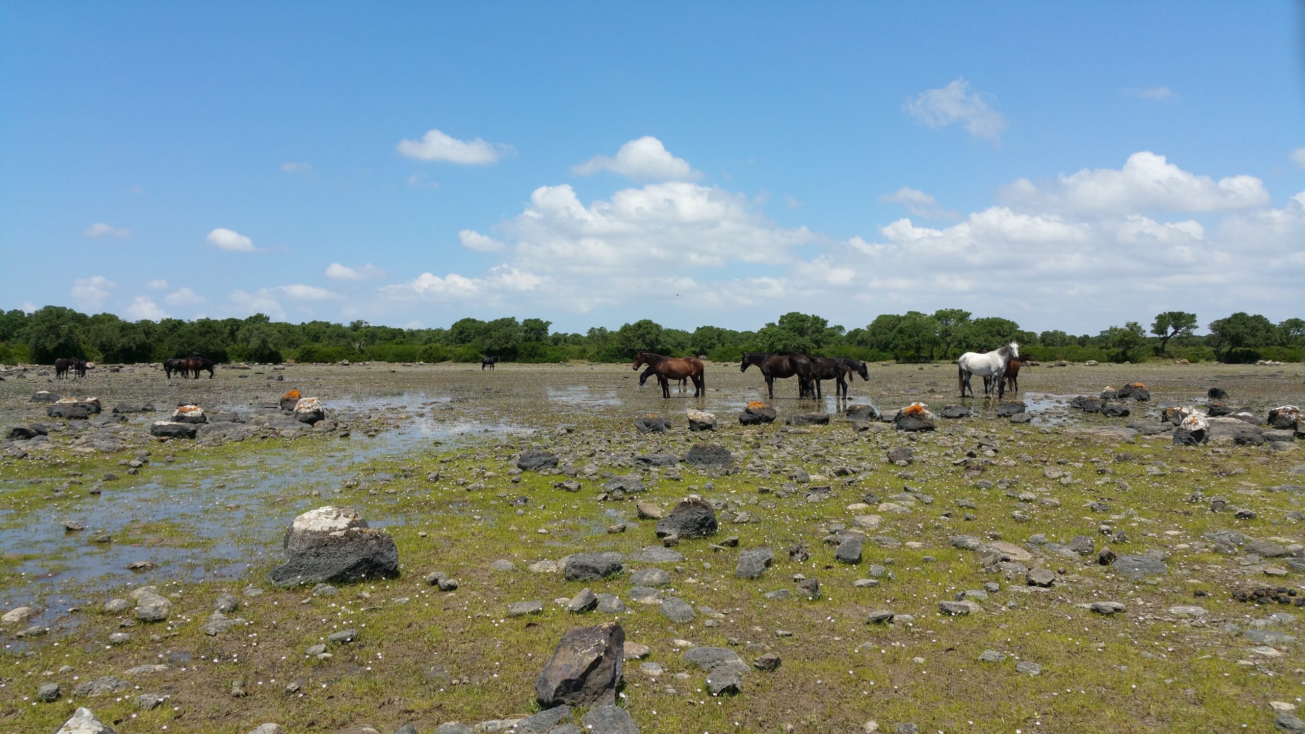
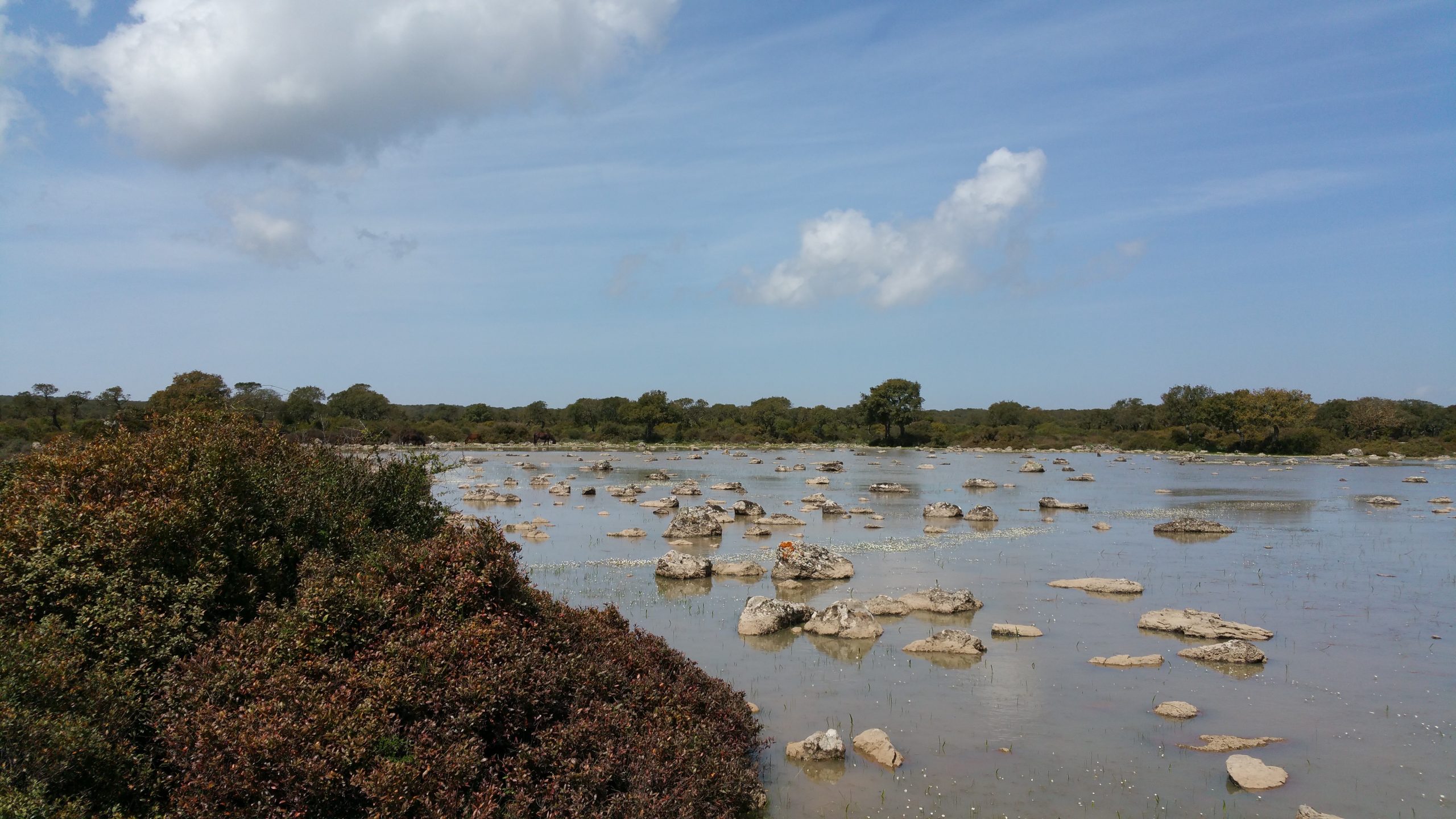
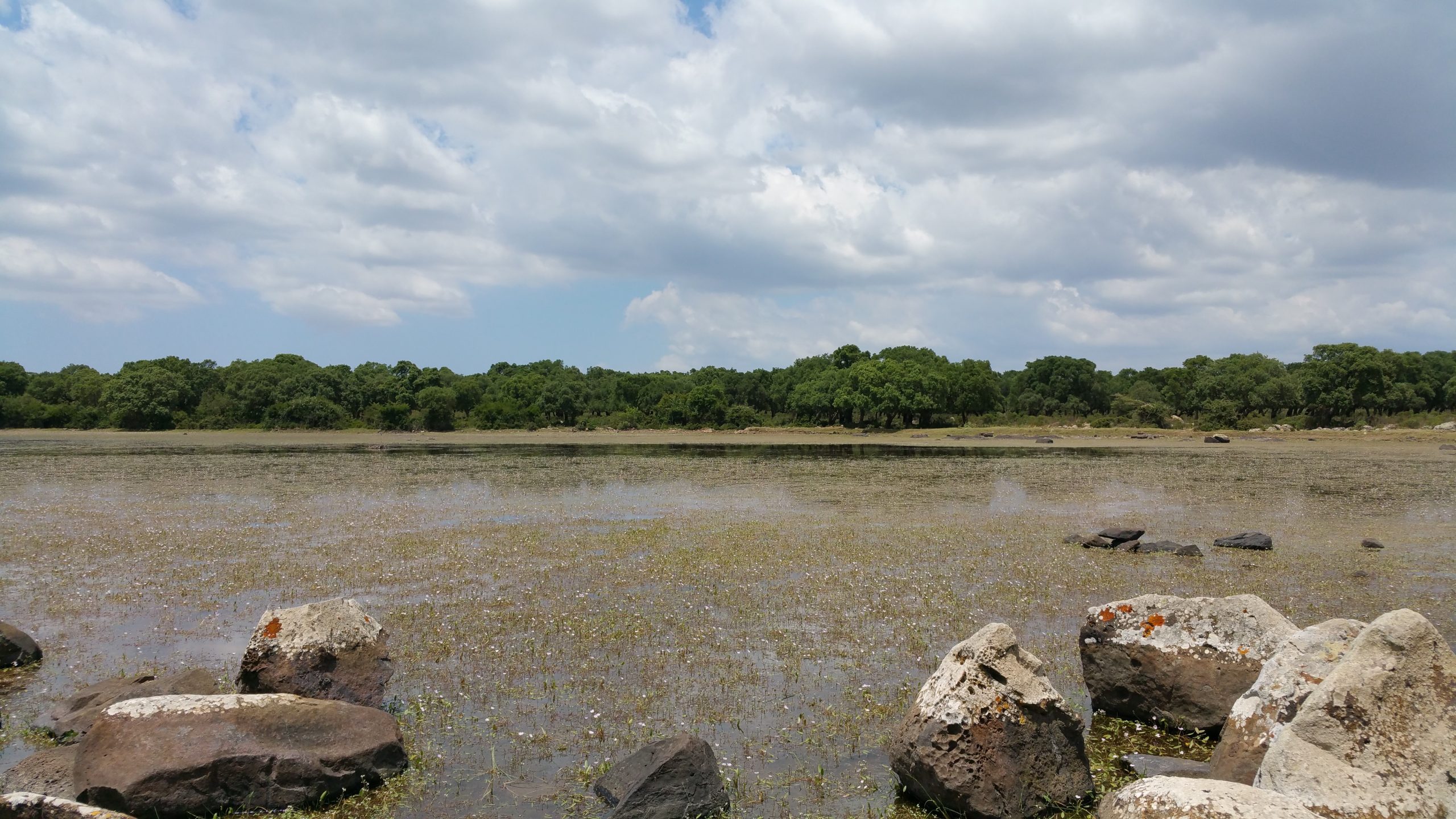
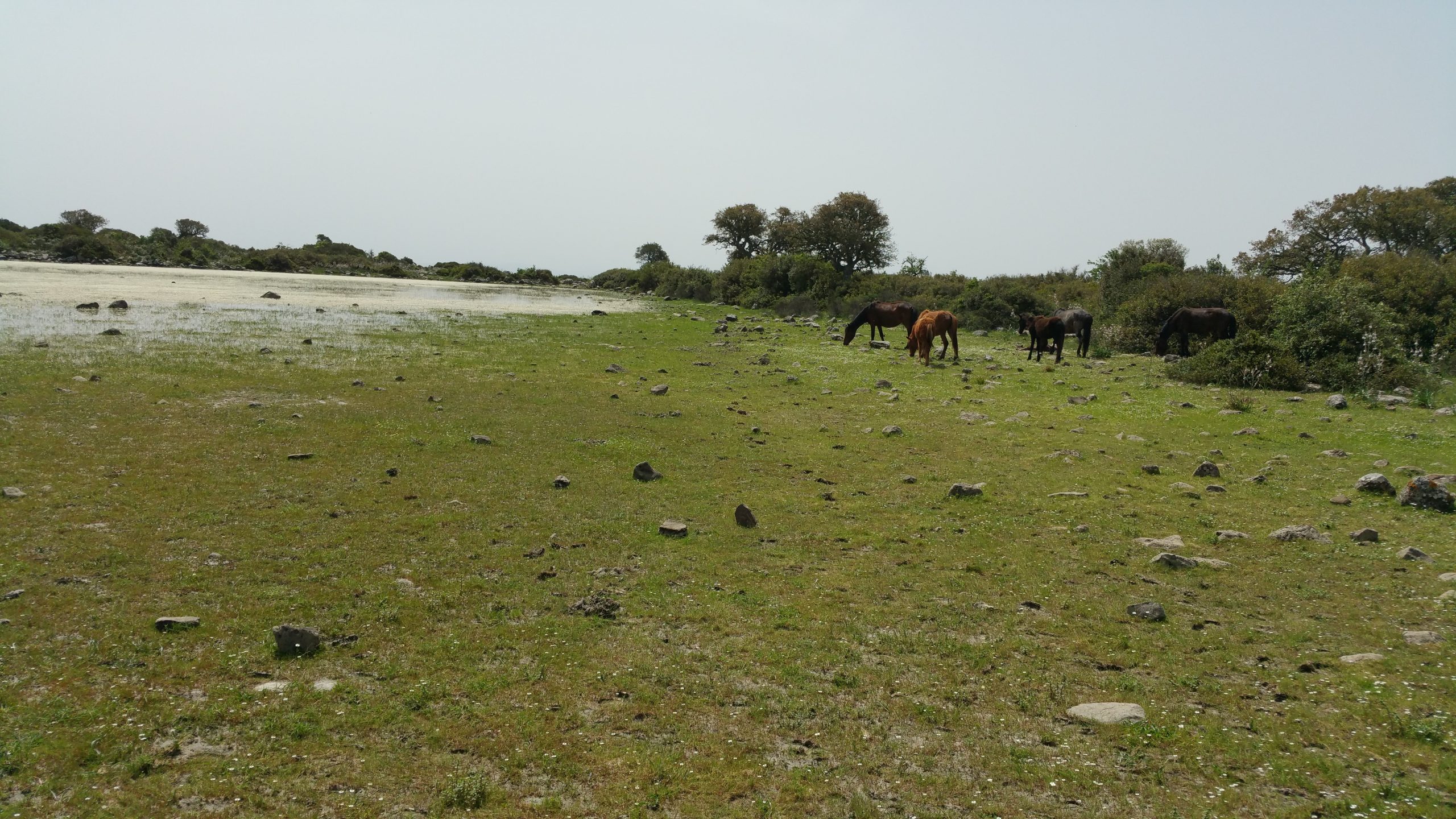
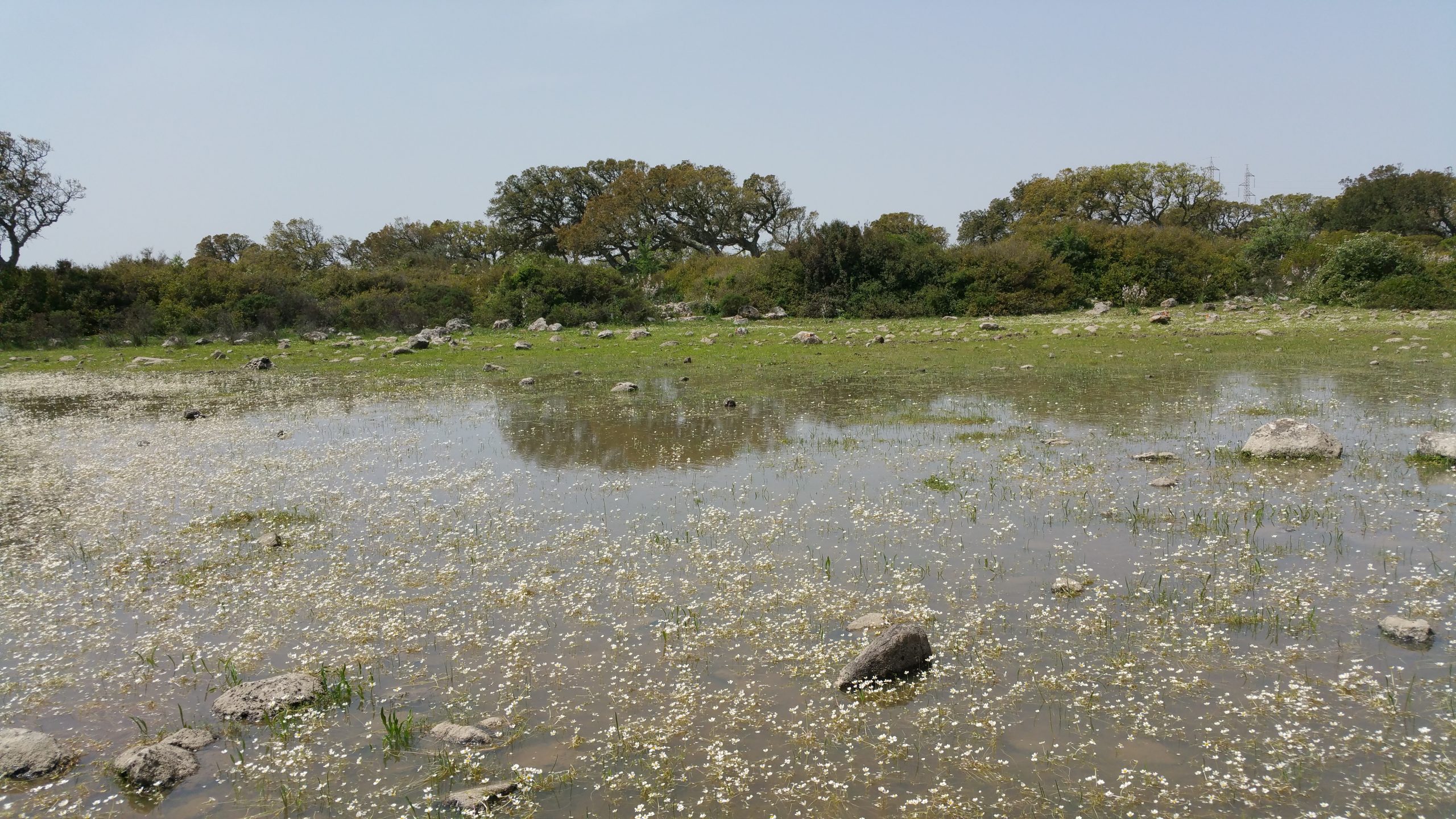
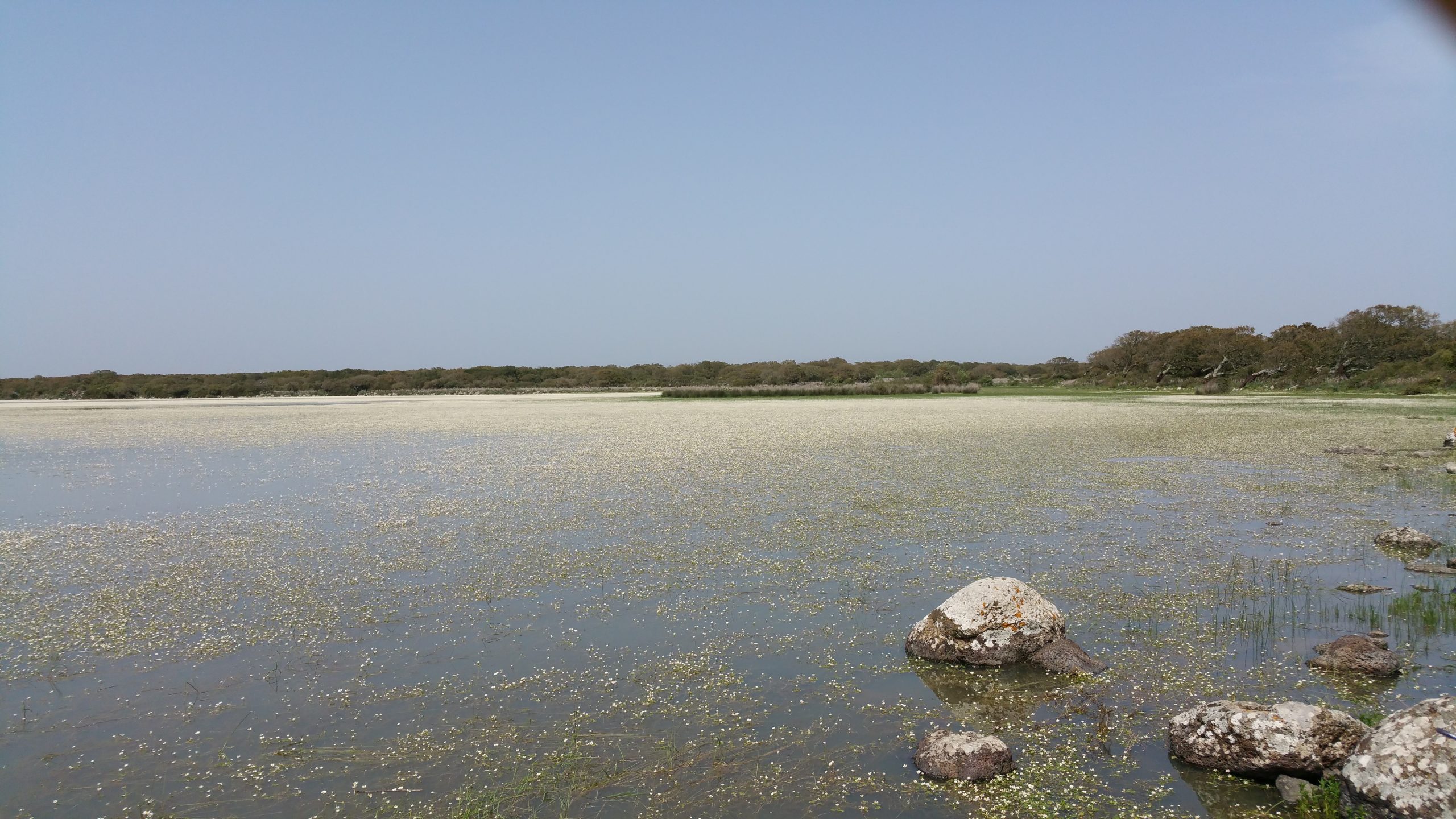
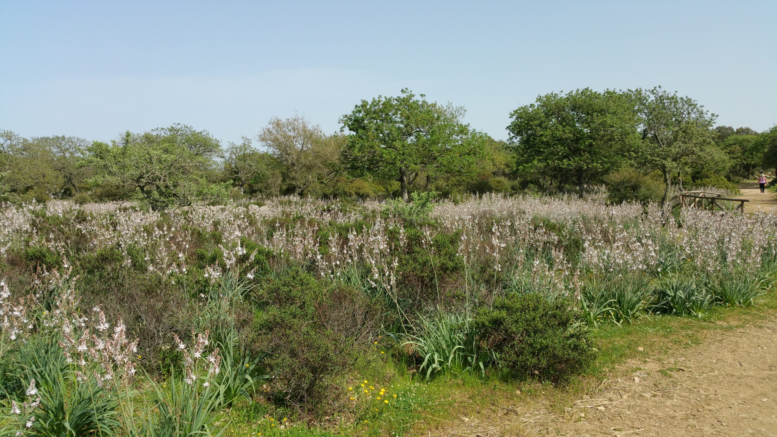
The “Giara di Gesturi” is a high, steep-sided plateau of basalt, 42 km2 in size, located in southern Sardinia. The site is important to the community and is part of the local park. The plateau was formed 2.7 million years ago during a volcanic event. The mountains Monte Zeppara Manna (580 m high) to the NW and Monte Zepparedda (609 m high) to the SE erupted lava, which covered older rocks. The plateau is about 550 metres above sea level on average. The sides of the plateau that are not covered by the hard basaltic blanket that covers the top have been eroded and have had landslides over thousands of years. These things started with paths that go up steeply. In the local language, these paths are called “is scalas” (the stairs), and they are the only way to get to the Giara. The weather is like a mix of Mediterranean and continental, with most rain falling in autumn and less in summer. The average amount of rain that falls each year is 633 mm. The temperature is between 4.6°C (in February) and 32.7°C (in July-August) each month. Snow is not unusual for the plateau. The plateau is covered in more than 100 temporary ponds, locally called Paulis. These ponds are formed when waterlogging is made possible by the presence of clays resulting from the natural change of the basalt rock. The size of the Paulis varies from a few square metres to 30 hectares (Paule Majori). The deepest parts of the ponds are between a few centimetres and 1 m. All the ponds only exist during the wet season, which lasts between 3 and 4 months to 7 and 8 months. There are lots of ponds of different sizes and shapes. This means lots of different plants and animals can live there. The ponds of “Giara di Gesturi” are in good condition and have not been greatly affected by human activity. They have low mineralisation and low nutrient content.
Laconi Park
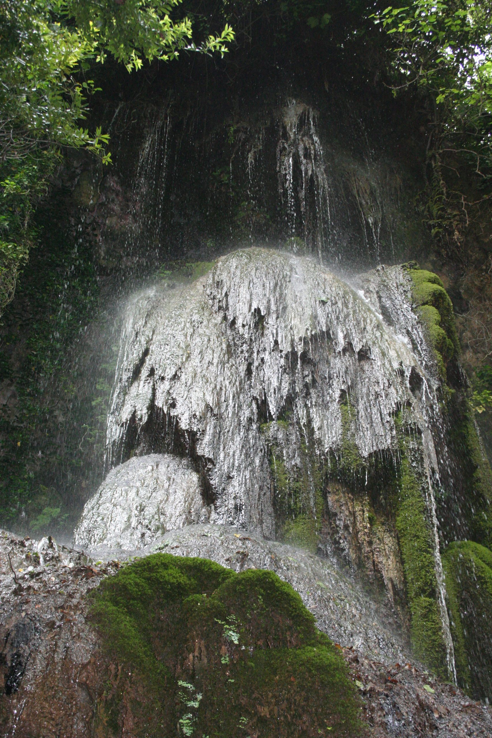
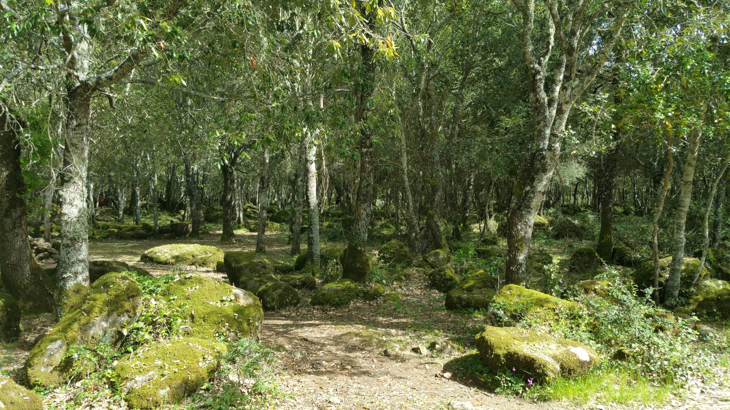
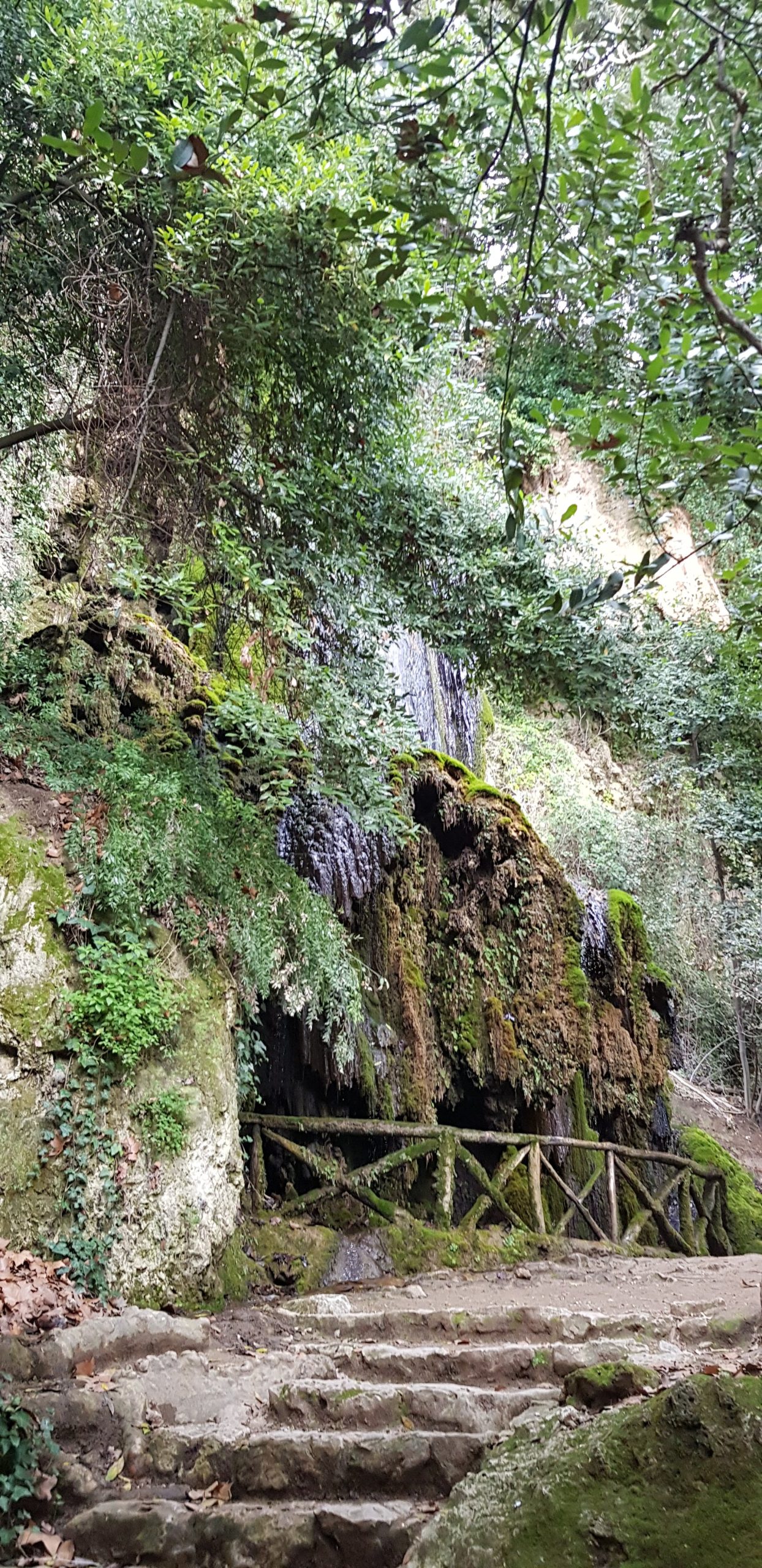
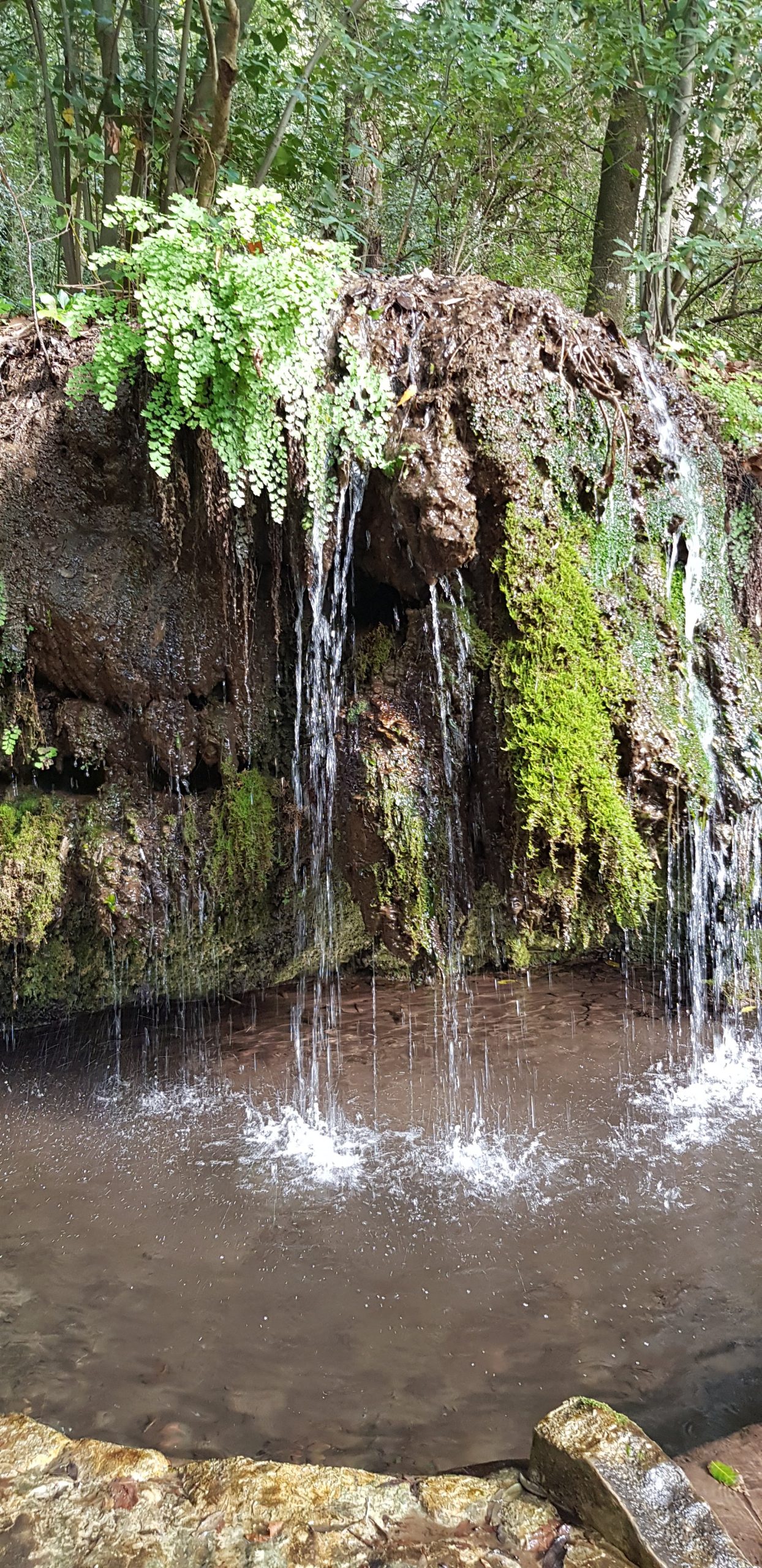
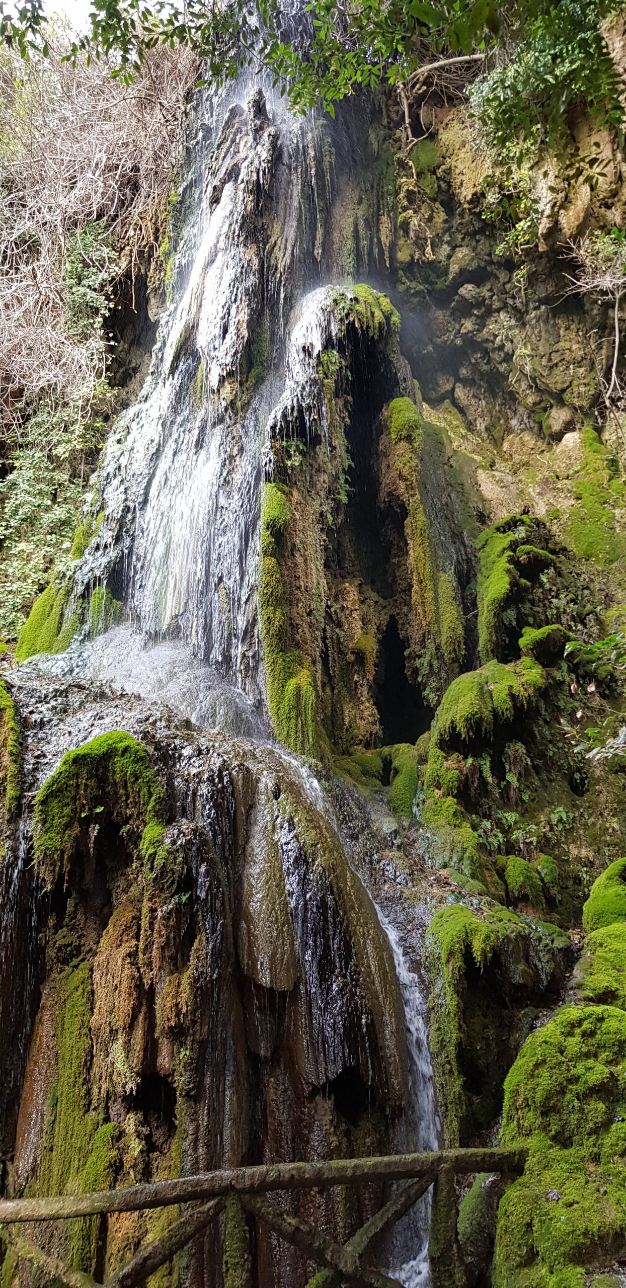
Aymerich Park in Laconi is the largest park in Sardinia. It is like a natural museum. It is located behind the old palace of the Aymerich family, who were the feudal lords of the town until the 19th century. The park is 21 hectares big and stretches from the town to the Laconi plateau. It is a real botanical garden, created in 1830 by Marquis Ignazio Aymerich, a senator of the Kingdom of Italy who loved collecting exotic plants. These plants still grow along a network of paths with white limestone rocks and lots of springs and waterfalls, including the Cascata Maggiore. Water is one of the most important things in the park. The area is known for its natural beauty, with plants like holm oaks, strawberry trees, Corsican pines, and plane trees. It’s also home to impressive trees like the Lebanese cedar and the medieval ruins of Laconi Castle, which was built in 1053. The Park is made up of hills that are typical of the Mediterranean region and are part of a limestone landscape. It is shaped like a square with two tall, thin, white cliffs on its northwest and southeast sides. These limestones are from the Triassic period and were formed from deposits or sediments from the sea, resting on a granite base. The rocks in the middle of the park are made up of dolomite and layers of rounded quartz that overlap each other.
Friday, 22 May 2026: Excursion to Marganai Forest
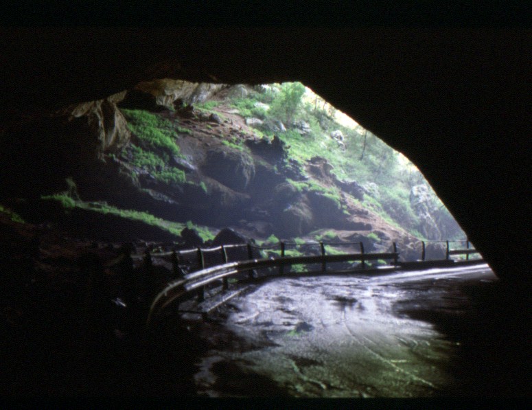
Marganai Forest
The Marganai Forest is part of the proposed “Monte Linas, Marganai-Oridda, Montimannu Natural Park” as it is considered an area of scenic interest. The northern part of the Marganai complex, covering approximately 450 hectares, is included in the Monte Linas Site of Community Importance (SCI) pursuant to D.P.R. No. 357 of September 8, 1997, which implements Directive 92/43/EEC (the “Habitat Directive”) on the conservation and protection of biodiversity. Despite significant human intervention in the form of intense mining activity, the natural landscape retains its scenic beauty. The Grotta di S. Giovanni area is recognised as a location of considerable natural interest, representing one of Sardinia’s most extensive caves. A substantial cave-tunnel, running parallel to the Rio Sa Duchessa beneath a high limestone wall, has been discovered. Numerous archaeological remains have been found in this area. From a climatic perspective, the forest falls within the Lauretum phytoclimatic zone. Precipitation follows a pattern characterised by peaks in winter and autumn, while the summer months are marked by rather dry summers, though not excessively hot. The lithological substrates underlying the forest area consist of Paleozoic and Mesozoic limestones, dolomites, and dolomitic limestones. The weathering of these carbonate rocks results in the formation of deep to shallow soils, ranging in texture from loamy-sandy-clayey to clayey, with moderate to low permeability, neutral pH, and good organic matter content. These soils are sometimes characterised by the presence of significant rock and stone fragments, partly due to their high susceptibility to erosion. The area under consideration falls within the mesophilic zone of the climax stage of holm oak forests. The vegetation is under threat from excessive human activity, including recurrent fires and grazing. These events have led to the establishment of secondary scrub, cistus scrub, and garrigue. A variety of reforestation initiatives have been implemented, utilising various species from the genus Pinus.